Last night was awful. ;)
Today, Sura’s wife cooked khinkali for breakfast, and Sura and Dato, friend of Sura’s, washed them down with vodka shots and beer. At 9am.
Then Dato (yes, the same guy) drove me to the starting point of my hike to 42°N, 46°E. There is a track that leads out of the village which shortened my walk by a few kilometers. The guys offered to pick me up again on my return, I’ll just have to ring them.
42°N, 46°E is one of the two unvisited Georgian degree confluences. It is located approx. 12km north of the Kvareli-Lagodekhi highway, towards the Dagestani/Russian border. The distance from the confluence to the border is 3km.
From the aerial footage I’d looked at I devised a route that follows the Avaniskhevi river for almost 9 kilometers in a northish direction, then turns southeast along a tributary for another kilometer or so. This is all uninhabited and forested wilderness and rivers and streams seemed to be the most viable ways to move forward along. Local lore has it that there are wolves, bears and poisonous snakes in the woods.
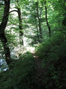
From the drop-off point I just followed the river for some time. Some time later I found a path! It was even wide enough for a car or ox cart, but it was of very bad quality. The track went more or less parallel to the river and ended at its bank after some time. I continued over stones and found a foot path that circumnavigated some impassable parts of the river bank. Who had made this path? I didn’t know. There were only two options, as far as I could tell. Either smugglers on their way to Dagestan, Russia, or hunters. I imagined it were the former, as that was certainly more exciting. I found foot prints in the sand and scratches from shoes on rocks, and I also found empty cigarette packets and resting places with remainders of food. They couldn’t have been here long ago. From then on I paid special attention not to leave any traces myself. And I became a master in reading and following their foot steps.
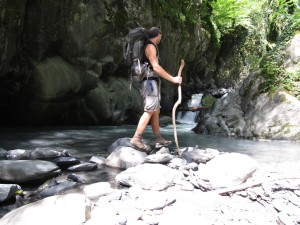
I had to cross the river a couple of times, first by jumping from stone to stone, later by wading through.
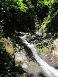
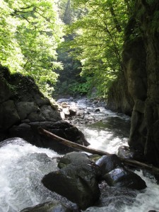
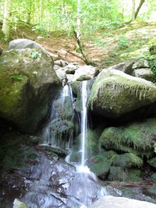
Then I hit a dead end. The river passed through a narrow gorge forming a waterfall. There didn’t seem to be any way to get through there. Also, there weren’t any paths leading up the sides of the gorge – they were too steep anyway.
I had a break there and took a refreshing bath by the waterfall, then climbed the rock that formed the gorge. It was easily possible! From that rock I could climb onto a dead tree that had fallen into an optimal position (or maybe was put there intentionally?) just above the waterfall. Then onto another stone and across I was.
Went back down to grab my stuff and actually did the crossing in no time and without any problems!
Later I had another break at the inflow of a small tributary. According to the aerial pictures, that tributary came pretty much directly from my destination, 42°N, 46°E, though I was still about 3 kilometers away from it.
I decided to follow that little stream, but it turned out to be a dead end for me. The hills left and right climbed steeply and were full of raspberry shrubs. I tried my best but gave up after a couple hundred meters (which equals about an hour of ‘walking’ in these conditions) and returned to the main river I’d been following (the Avaniskhevi).
It was 6pm when I got back there and I decided to stay there for the night. Pitched tent at a lovely spot on soft soil. Cooked some dinner on a large stone in the middle of the river and went to bed not much after 8pm.

Pingback: Razi – Qarah Aghej | On My Todd