Trip Archives: To the Caucasus and Back

Four months and 5000km of cycling around southeastern Europe, the Caucasus, and the Middle East in the summer of 2011.

Visiting 39°N, 47°E

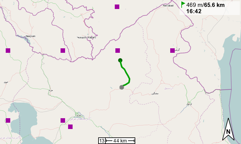
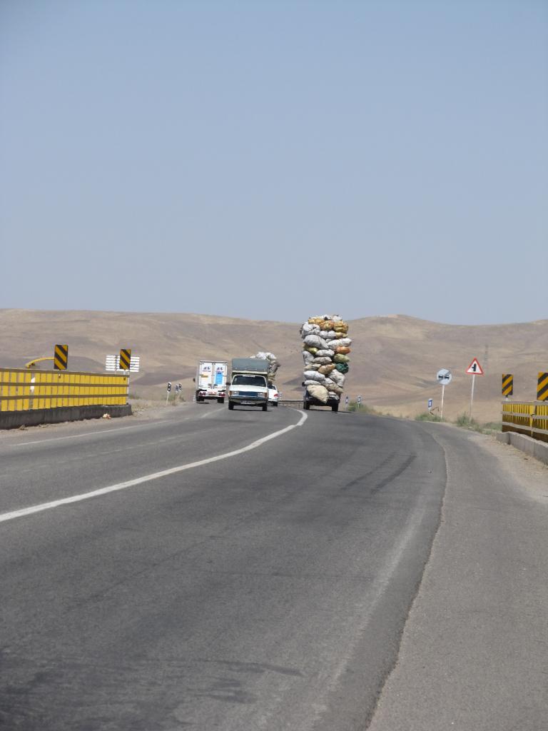
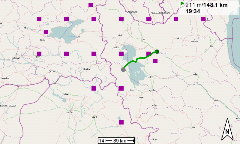
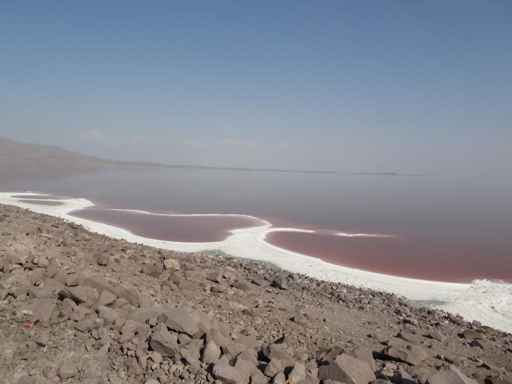
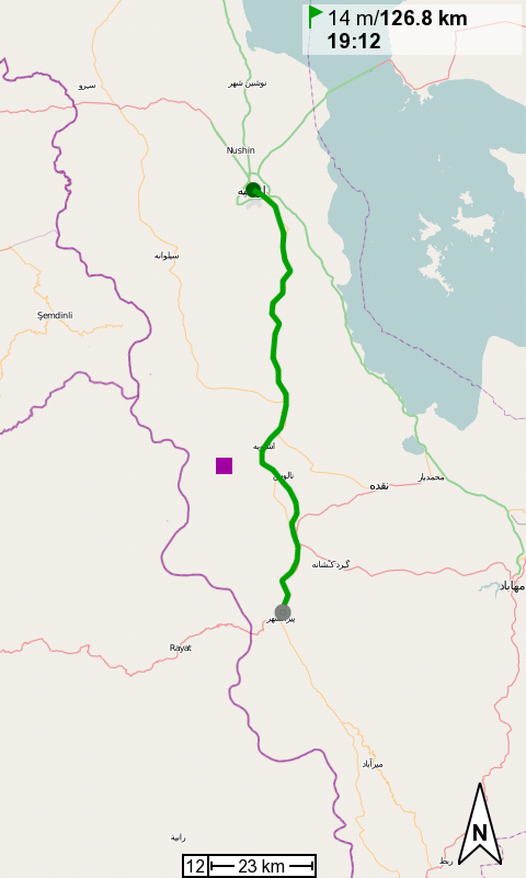
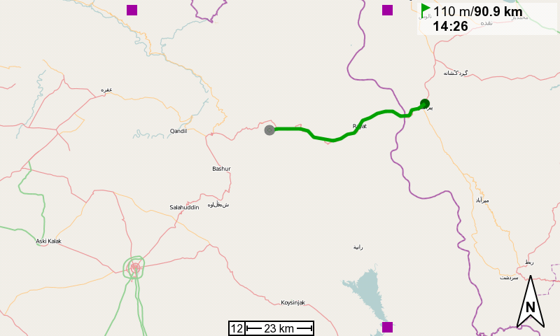
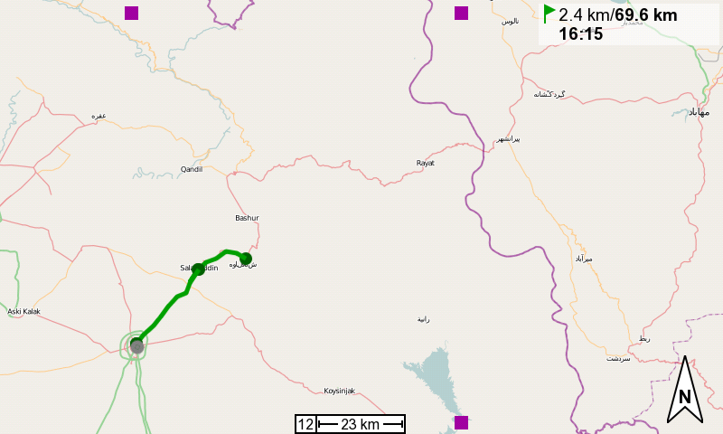
The reason for fighting my way up and down the hills here in northern Iran is simple. It’s the hunt for first-time degree confluence visits. 39°N, 48°E from two days ago was easy. 39°N, 47°E today would require a little more effort.

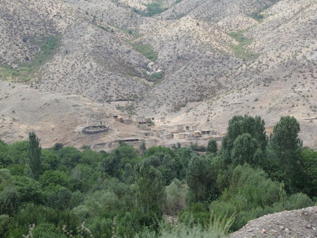
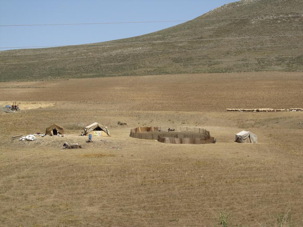
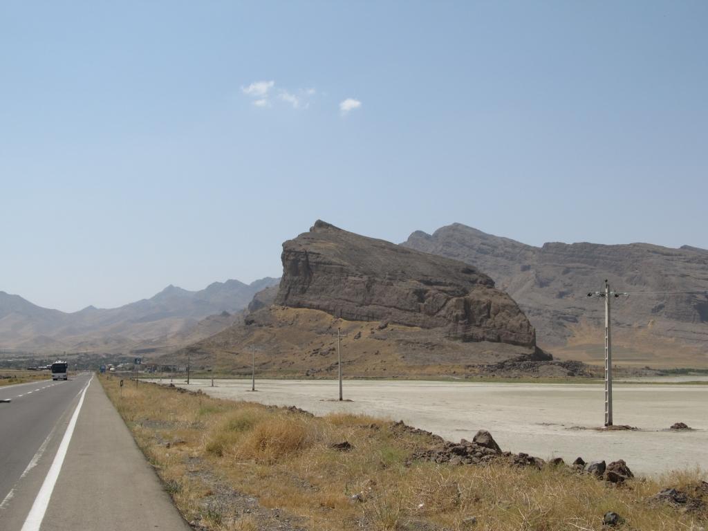
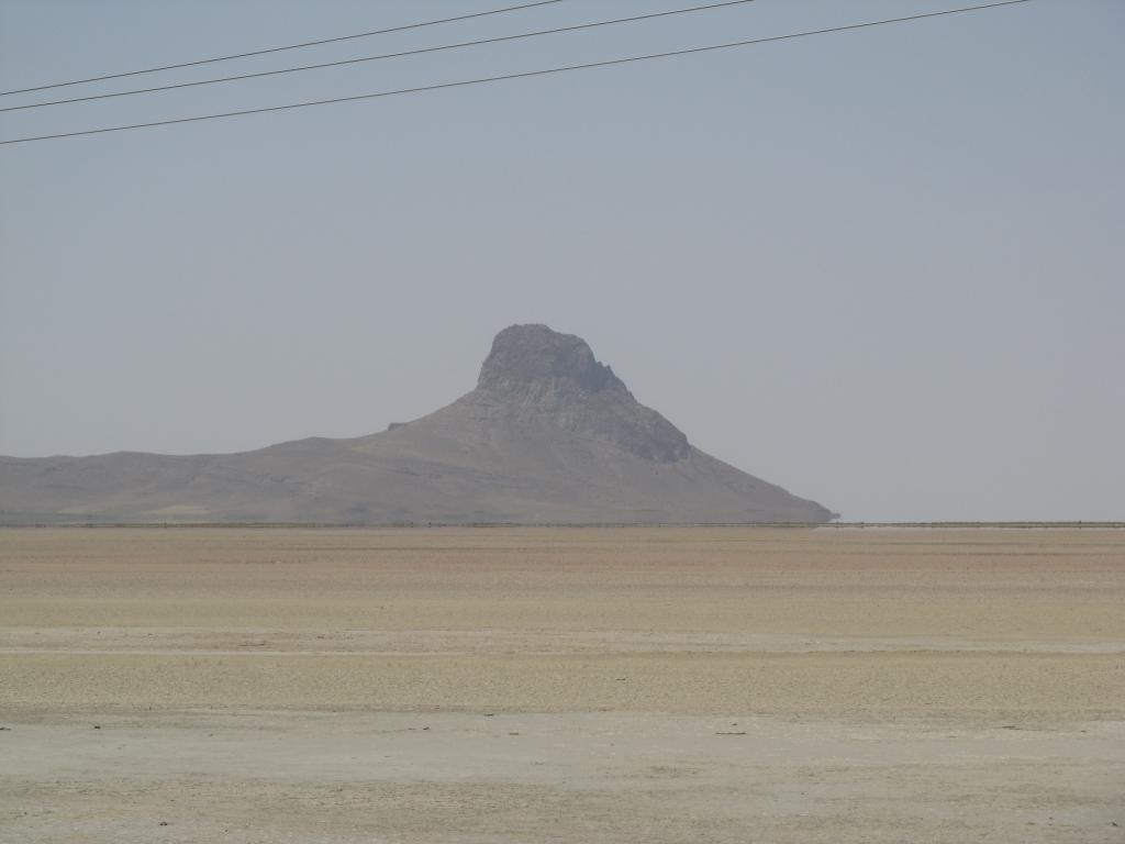
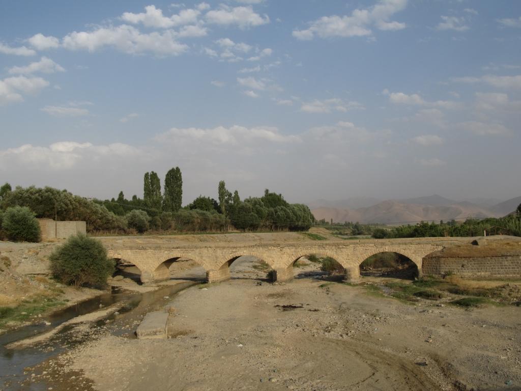
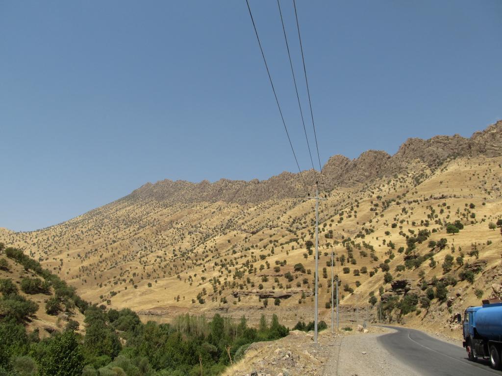
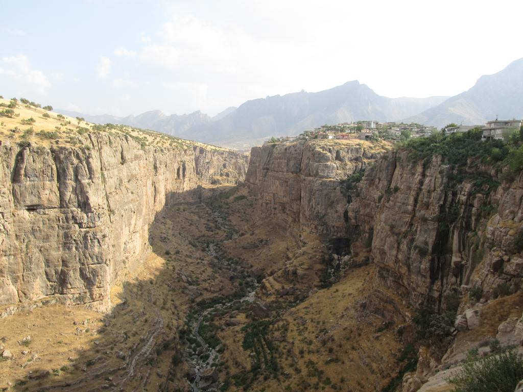
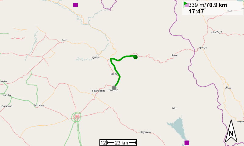
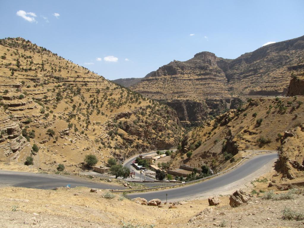
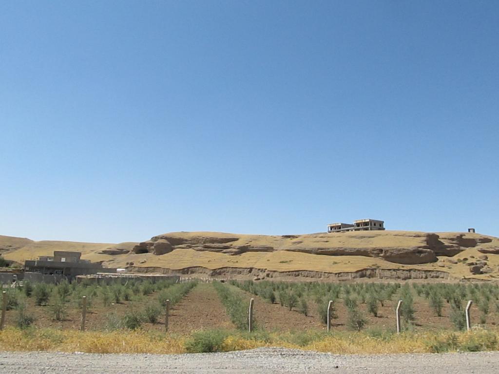
39°N, 47°E is located approx. 15km north of the town of Kaleybar, as the crow flies, and approx. 3km east of the river Kaleybar, which also flows through the town of the same name. The area is pretty much uninhabited and not very inviting. My research has shown that there is a track along the river that I could probably use up to a little tributary which I would then follow for a while before heading into the wilderness to the degree confluence.

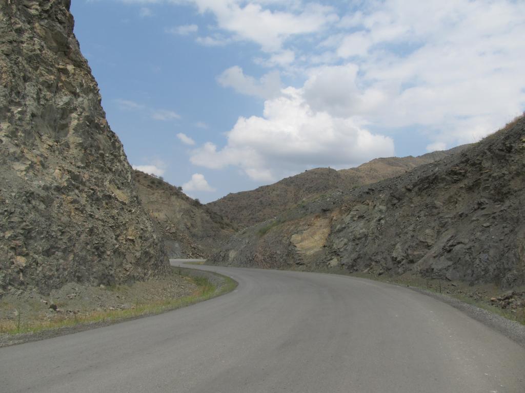
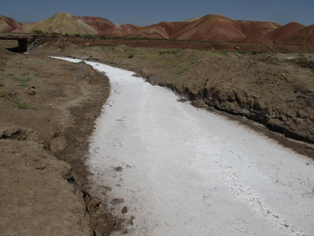
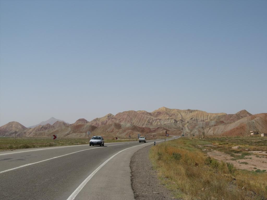
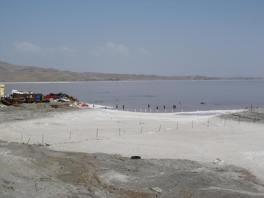
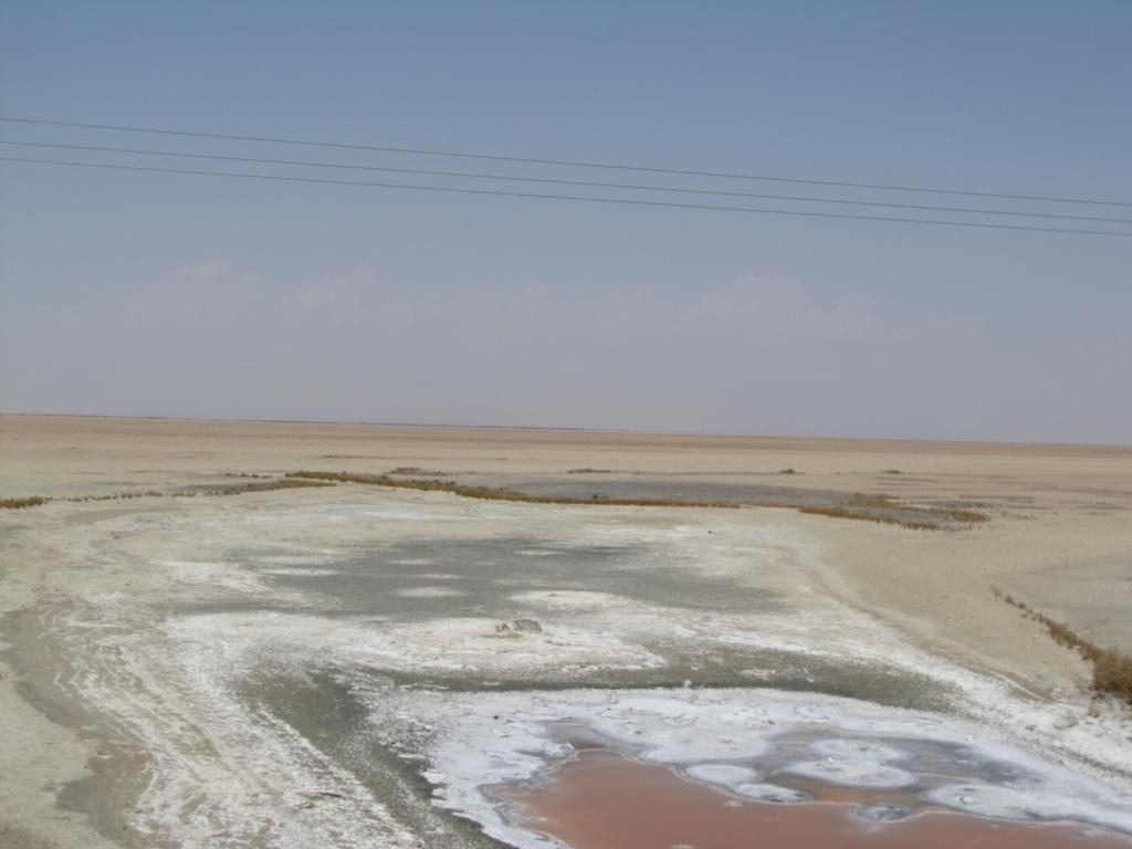
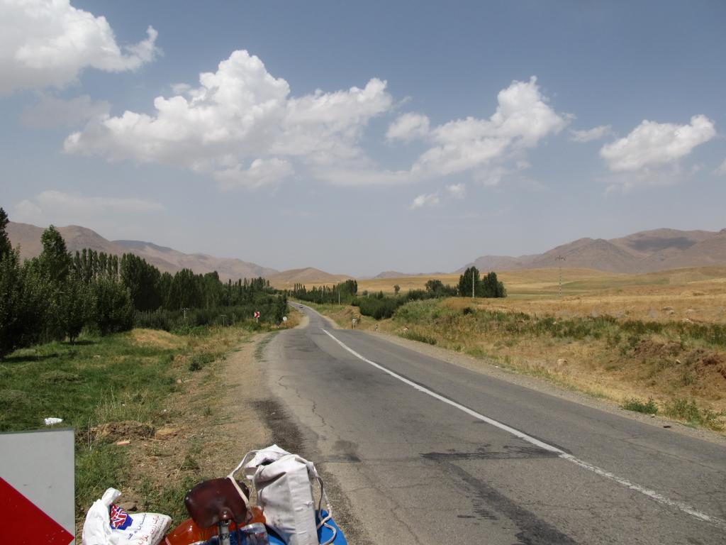
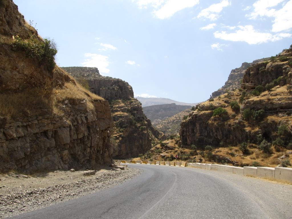
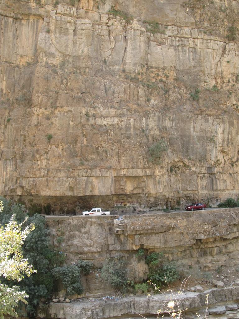
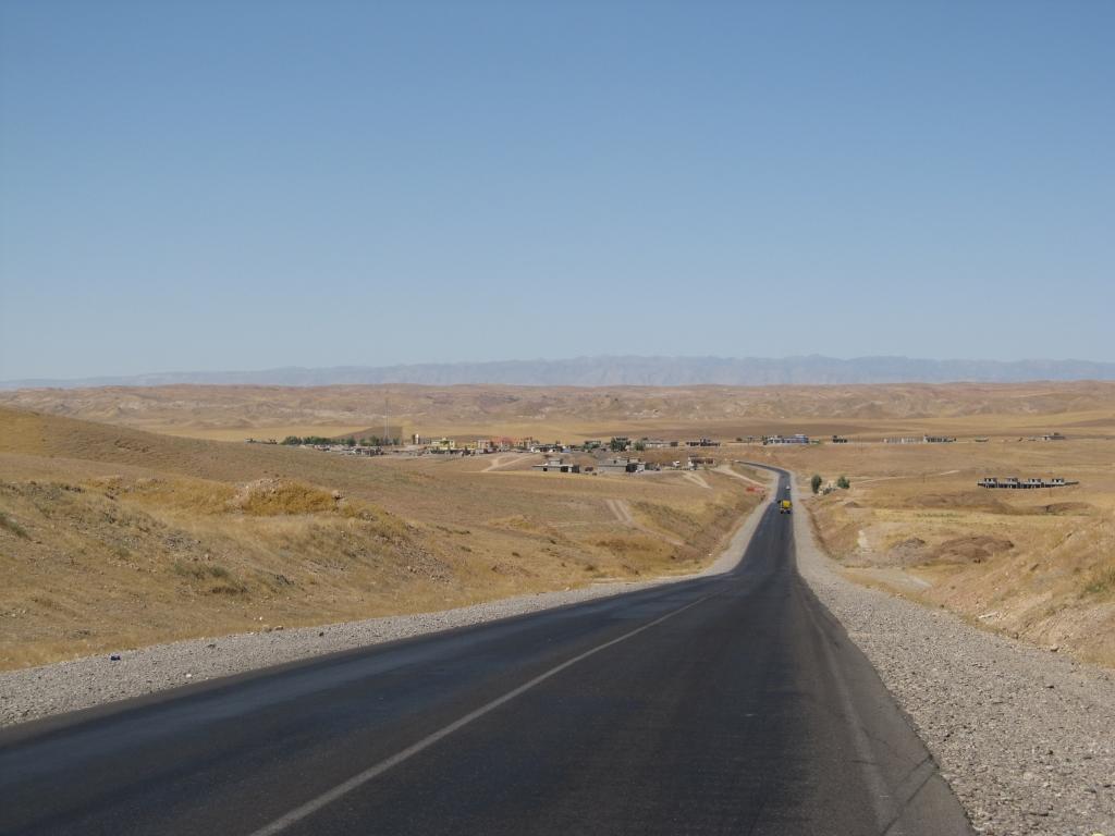
There is actually a road being built along the river and the first 10km are already finished. Somewhere along the way a massive rock and lots of debris had fallen from a cliff above the road and was barring it, but people were already cleaning up. I cycled another 10km to the little tributary. It was dry and I cycled a few hundred meters in its bed. Then I left the bike behind and began hiking the final 3km to the confluence.

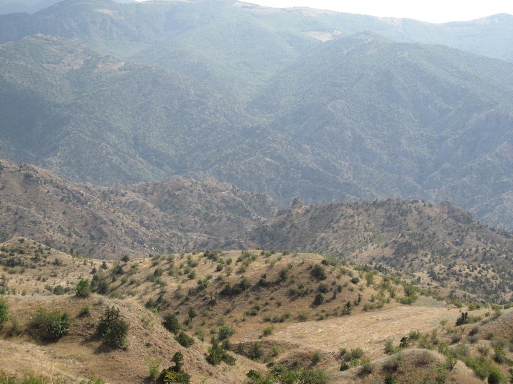
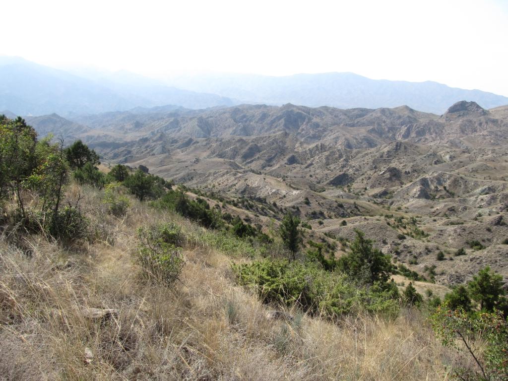
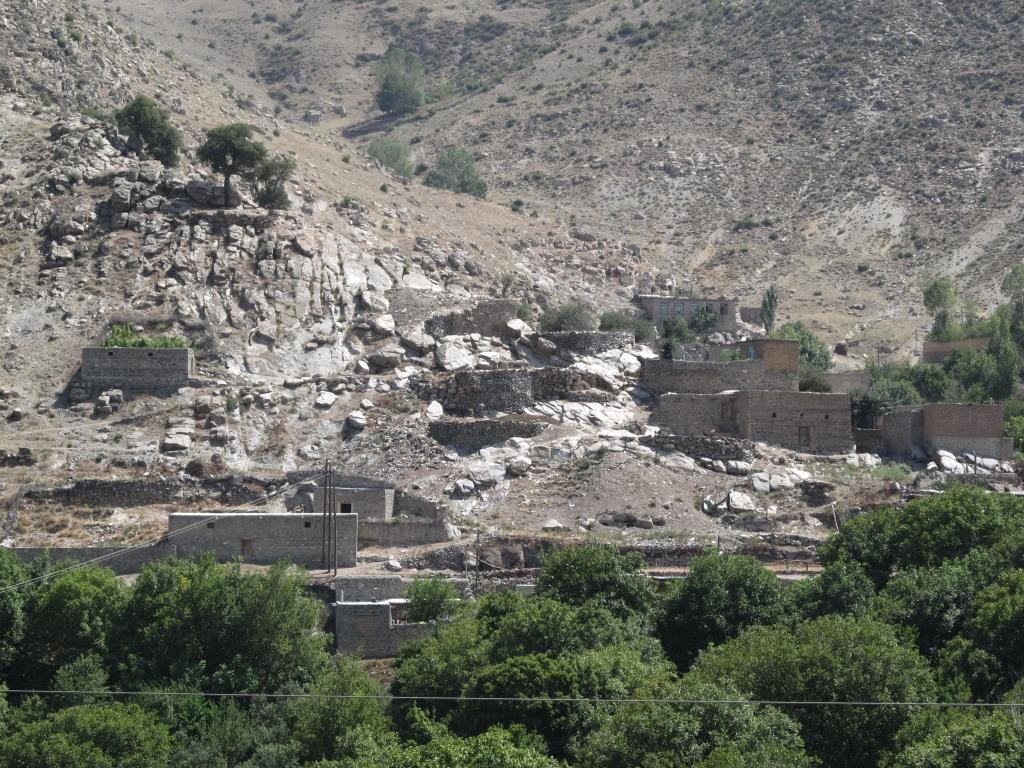
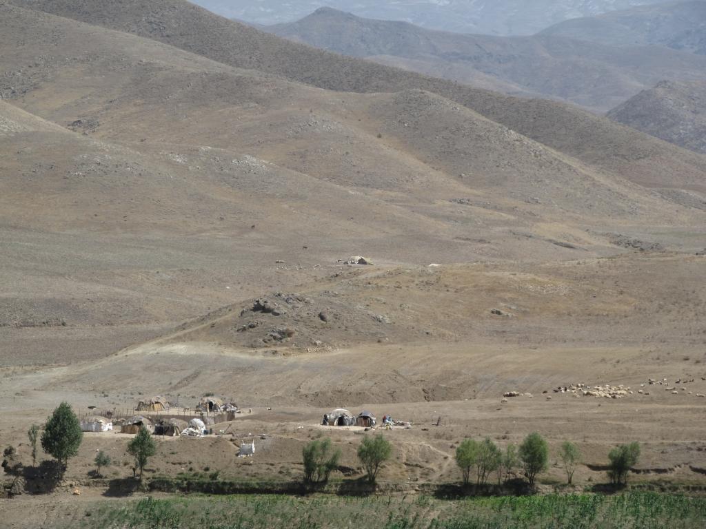
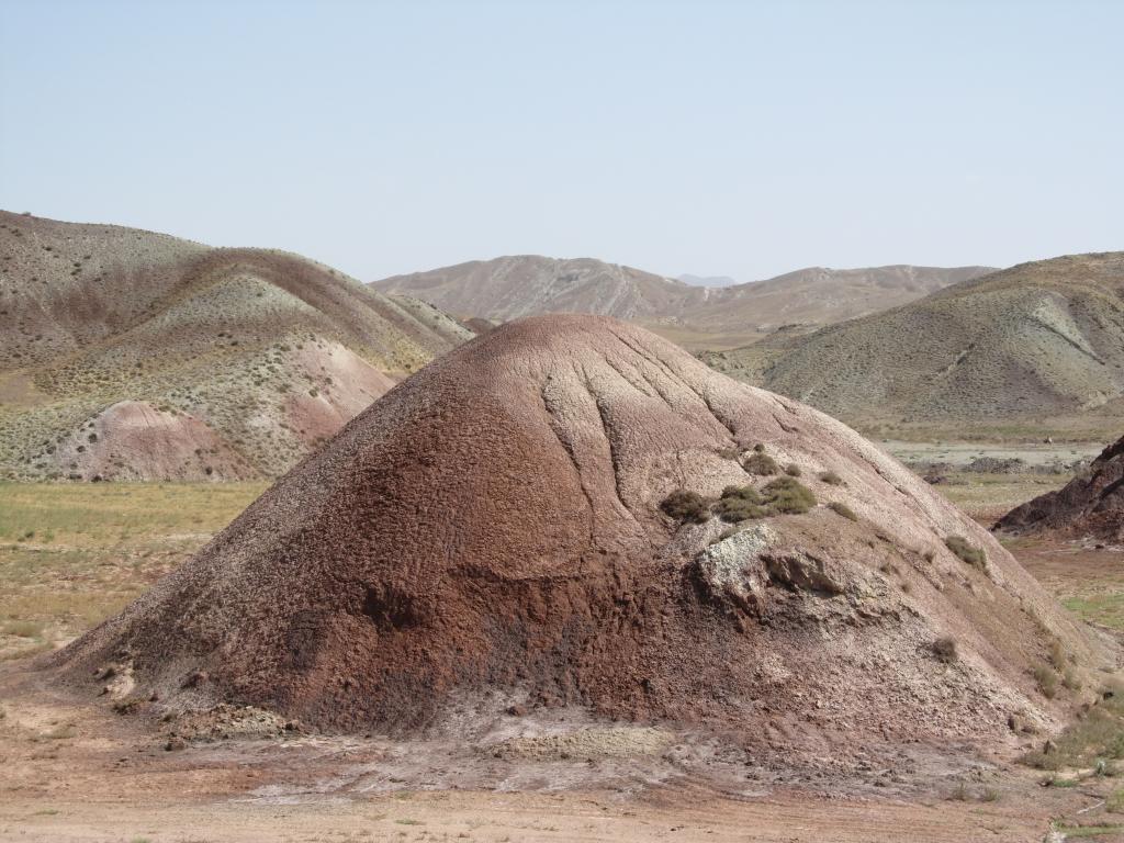
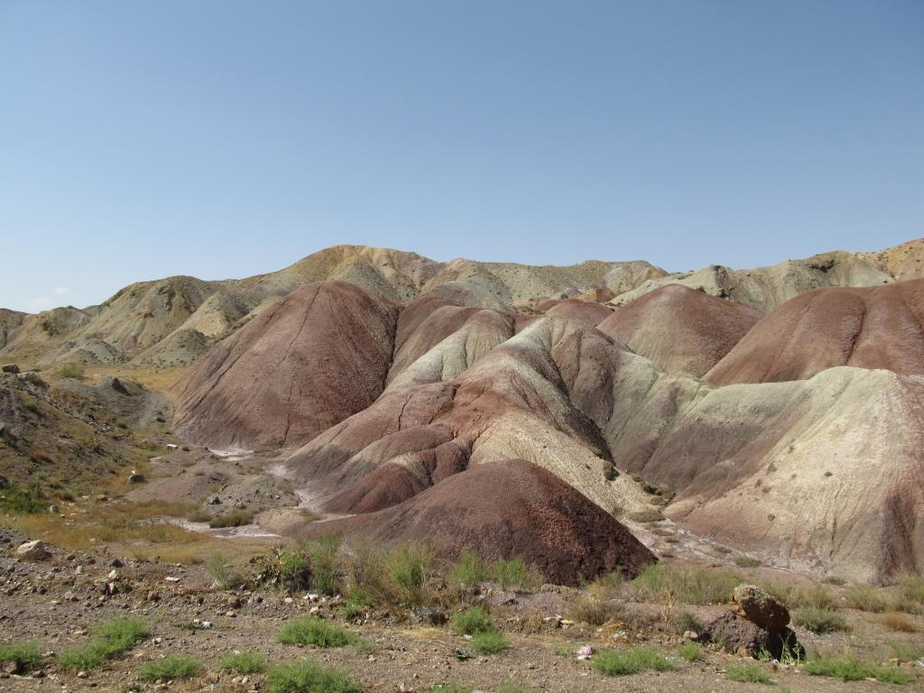
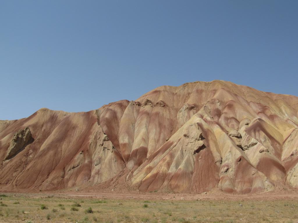
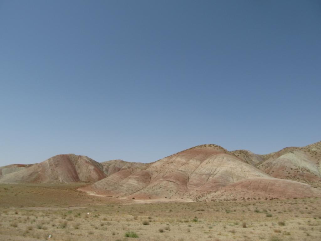
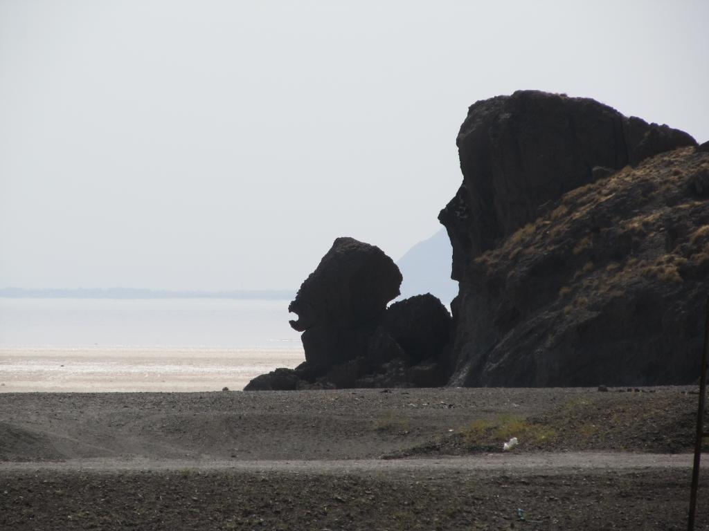
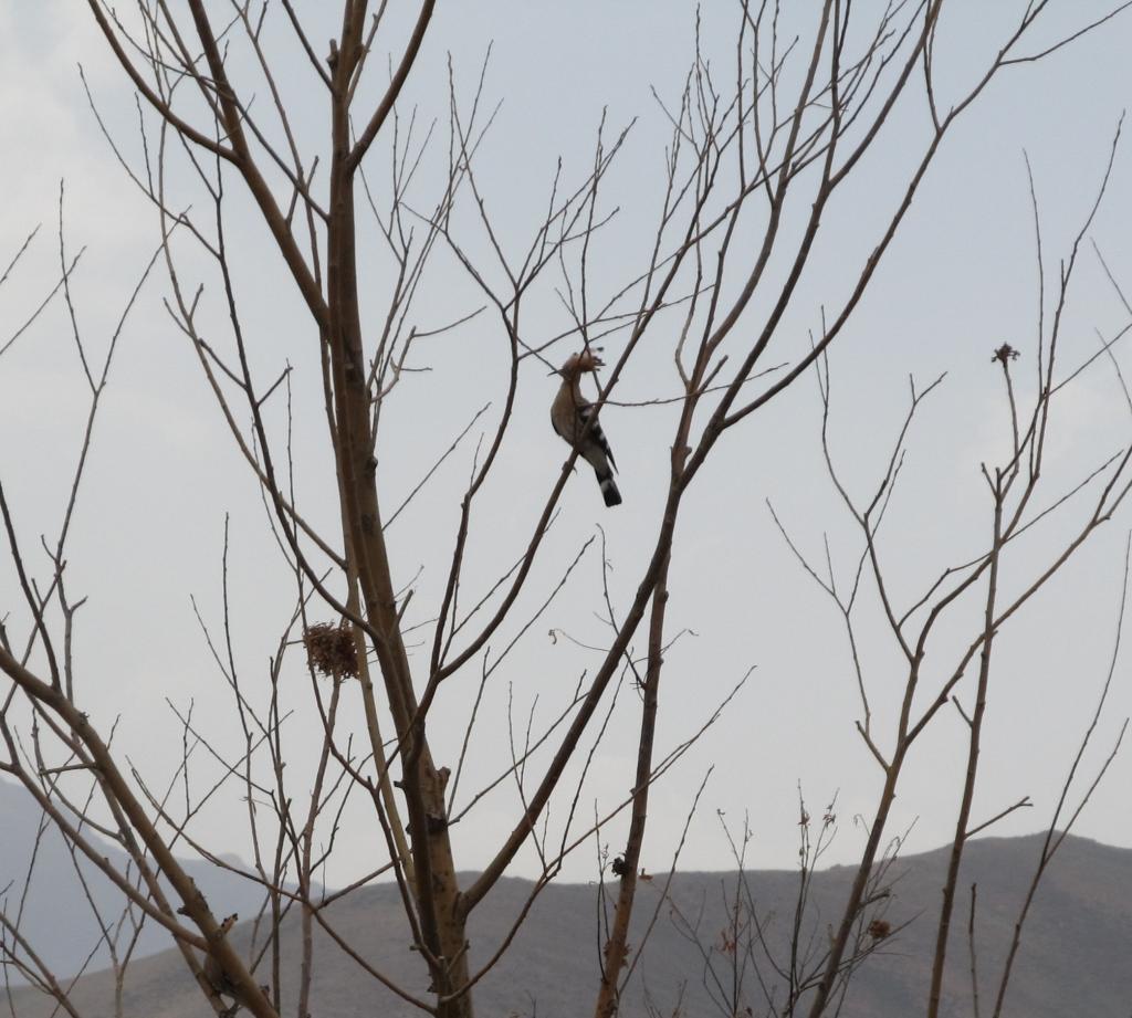
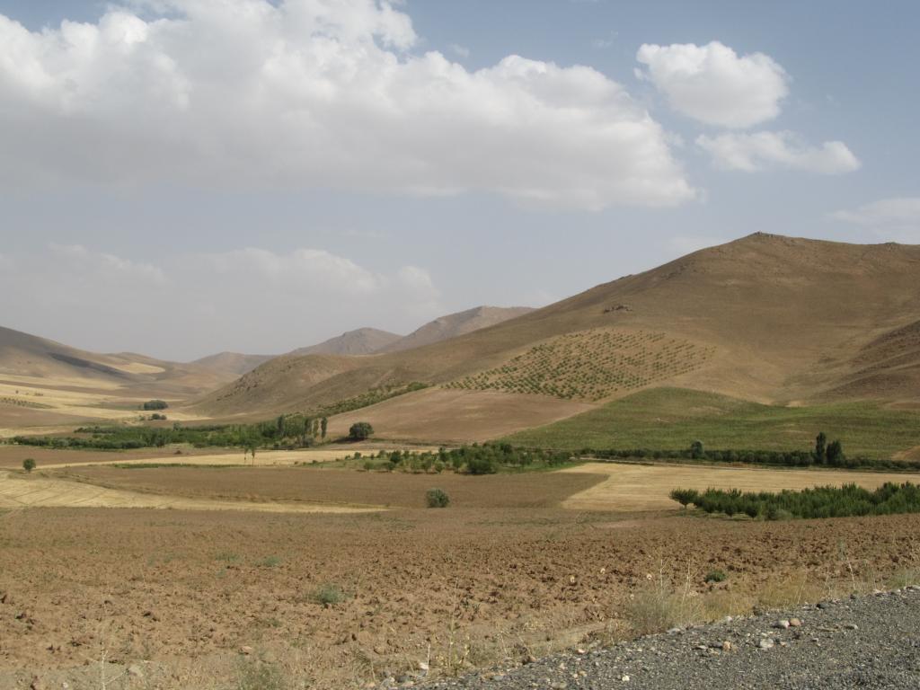
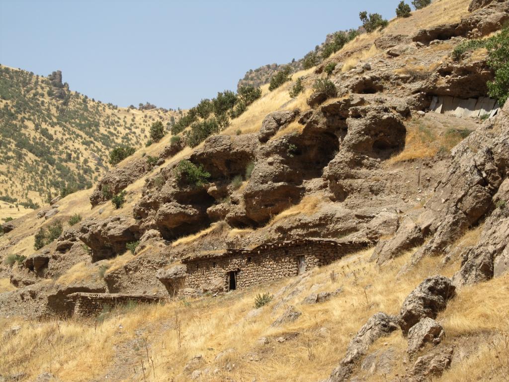
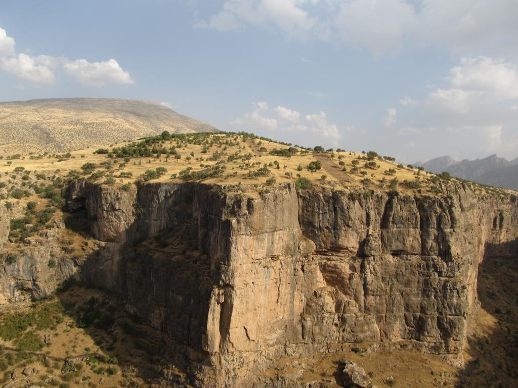
The landscape is very hilly, with many little (now dried-up) streams having cut valleys in between the hills. I tried to follow those valleys as much as possible at first, but eventually had to climb. Vegetation consists mostly of dry grass, thistles, and little thorny shrubs, with the odd little tree thrown in. 39°N, 47°E is located on the northern slope of one of the higher hills, almost at the top. The views are just grand.

The return to the bike was easy. A peculiarly shaped hilltop served as a guide and from up there near the confluence I had a great overview and could devise the best way so that I could avoid climbing into the valleys.

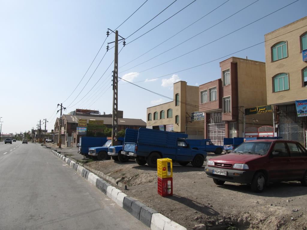
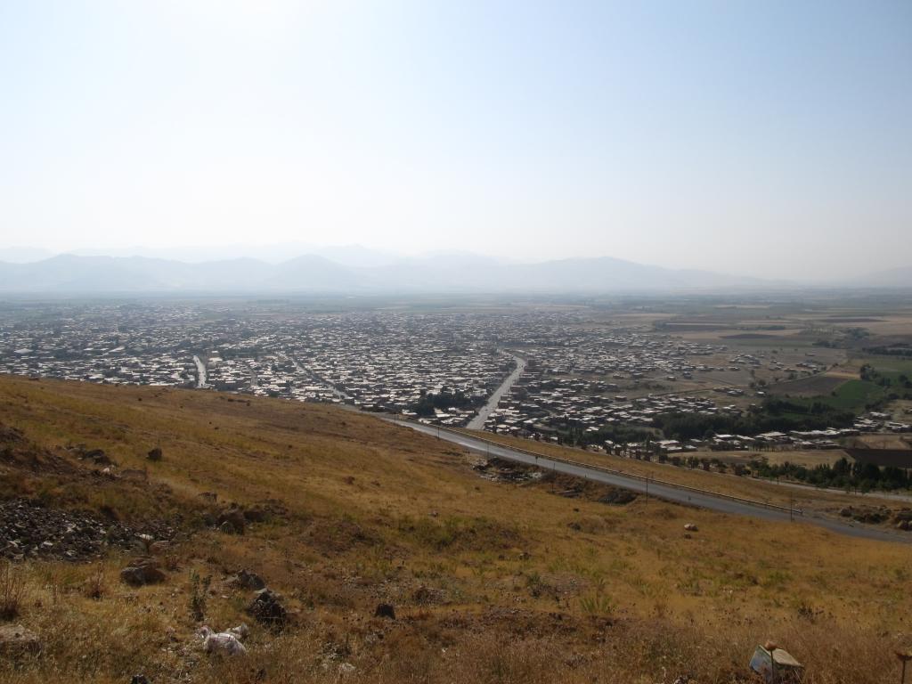
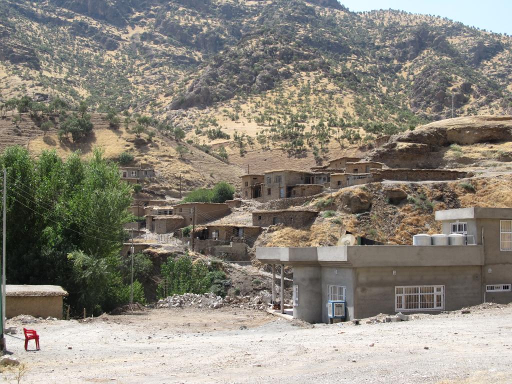
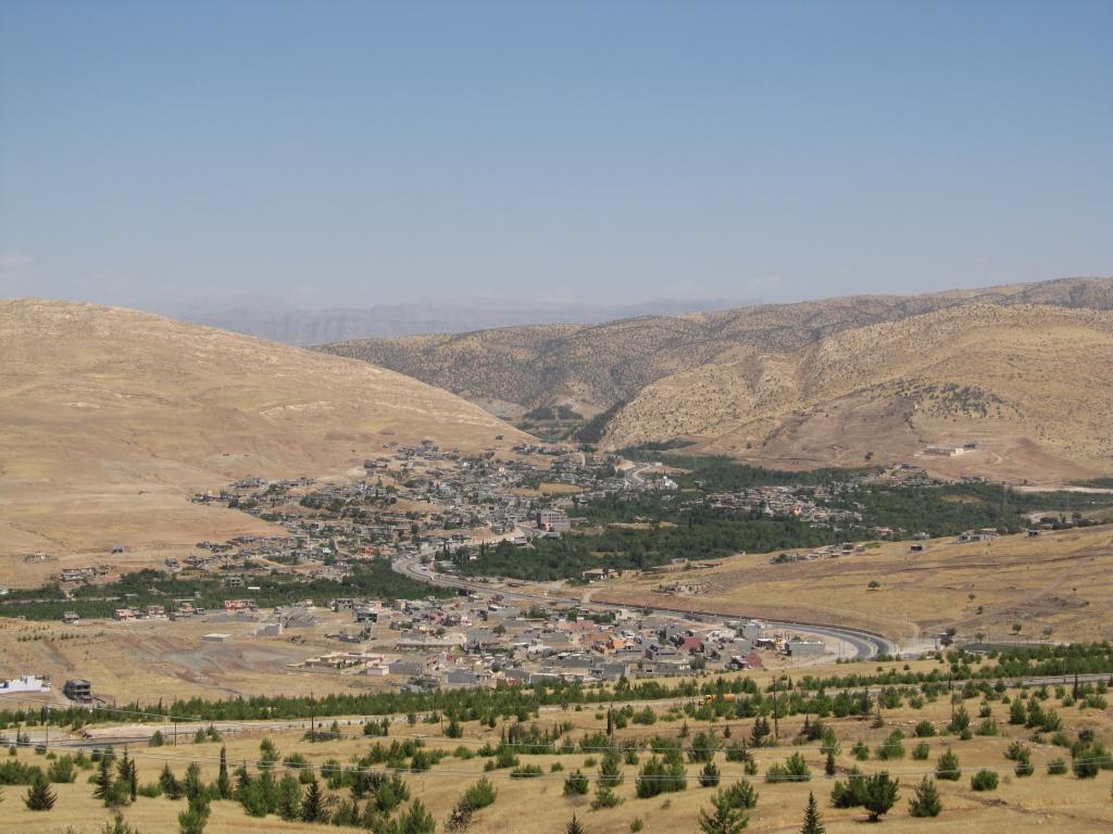
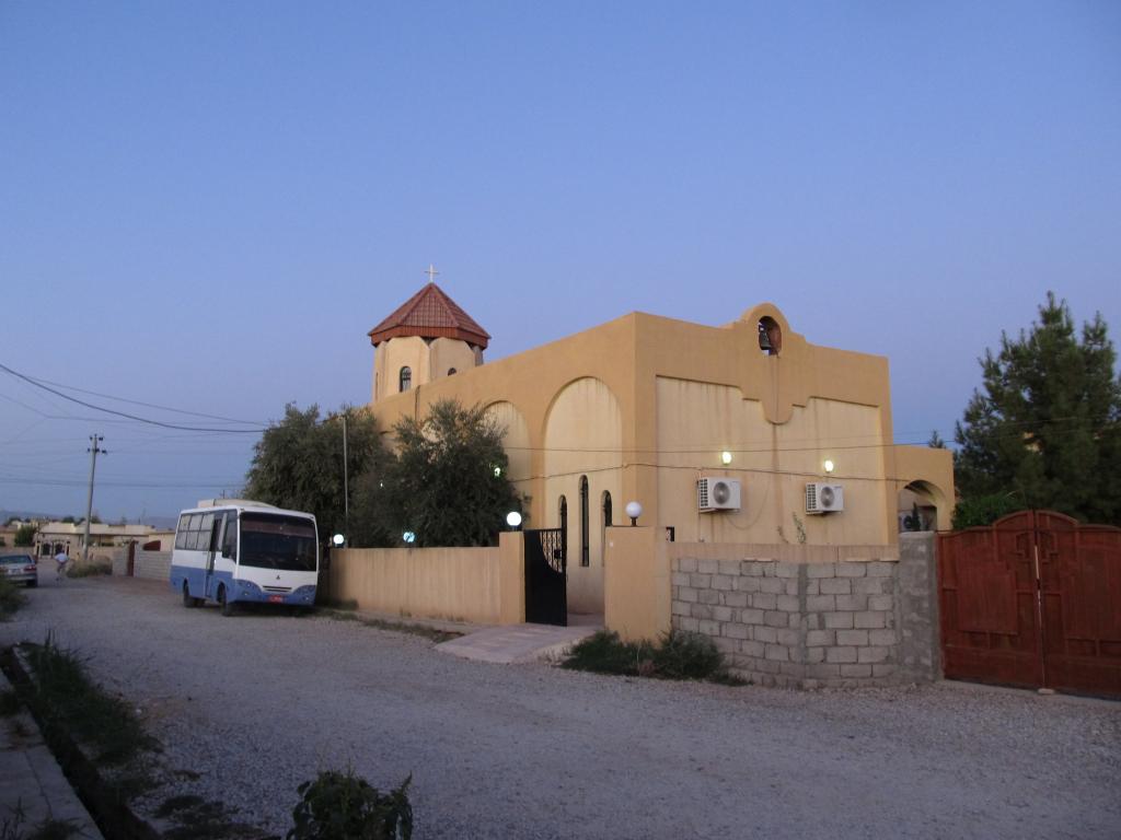
After cycling back to Kaleybar I celebrated the successful confluence visit with a hearty dinner.

Why do I visit these confluences in the first place? Fame, of course! :) And also, I get to see regions I wouldn’t see otherwise. Without DCP I would have gone on a more direct route from Astara to Tabriz, missing out on all the rural loveliness.

Not everything here in Iran is good, of course. I don’t like how women are treated. Back at Araf’s in Razi, I got to see his wife only for a minute when she had to program the washing machine. The rest of my stay she was tucked away in the bedroom or at friends’ or I-dunno-where.
The other annoying thing is the dresscode for men. Having to wear long pants all the time is just crap.
And also, people here seem to have a complete misinformed view on Hitler. I’ve been told a number of times by Iranians (including one police officer) that he was “a good man”. (Disclaimer: I don’t share this view.) I can only guess where that kind of ‘education’ comes from…
Oh, and then there is the annoying habit of using the world as a big trash bin – but that’s not in any way exclusive to Iran.

Cycled: 39km
Hiked: 6km

Trip: To the Caucasus and Back | Country: | Comments Off on Visiting 39°N, 47°E

Kaleybar – Ahar

Left Kaleybar quite late (almost noon) and cycled southward. The ride was unspectacular, maybe except for the apple that was thrown at me.

Found the Iranian Red Crescent Station I was looking for two days ago – approx. 18km out of town.

Along the road (and probably further inland) there are many nomad tents pitched, and shepherds drive flocks of sheep across the hills.

The last 15km or so to Ahar where a relaxing downhill section. Ahar feels like a real city, the first real Iranian city I see (even though Astara, Germi, and Kaleybar come close as well).

Managed to change some money at a travel agency. The rate wasn’t very good, though.

There are many women on the street here (compared to e.g. Baku). All wear long-sleeved clothes. This, and covering the hair, is required by law. Most wear black chadors. Only hands and face are visible. Some even cover their mouth and chin, others wear gloves.

The people living in this northwestern region of Iran are called Azaris and are related to the people of Azerbaijan. Even though Farsi is the official language of all Iran, their mother tongue is Azari, a Turkic language closely related to Turkish and the Azeri of Azerbaijan. To add to the confusion, the Iranian provinces up here are called Eastern and Western Azerbaijan, respectively.

Cycled: 61km
Top speed: 72kph

Trip: To the Caucasus and Back | Country: | Comments Off on Kaleybar – Ahar

Ahar – Tabriz

Today was an almost easy day. The first 20km or so were still a bit hilly, but after a last long climb and a 10km downhill section I found myself on a wide plain. That plain was slightly tilted and the winds were favourable, and so I rolled towards Tabriz.

The landscape changed every couple of kilometers from arable land to funnily shaped and colored hills to salt desert.

Tabriz itself is not the western-looking city I had somehow expected to see, at least down-town Tabriz. It’s just as middle-eastern as Ahar or Kaleybar or Astara. Lots of small shops on the main street, lots of traffic, many people on the street, no western tourists.

The hotel I’m in is a definite low. The one Internet café I found closed at half past 7pm (this may be due to Ramadan, though).

Tomorrow I’ll try and find the Azerbaijani consulate to see whether a second Azerbaijani visa (for Nakhchivan) is affordable. Rumor has it that prices have somewhat steeply increased. I’ll also try to find a detailed road map of Iran. A different hotel might be a good idea, too.

Cycled: 107km
Top speed: 68kph

Trip: To the Caucasus and Back | Country: | Comments Off on Ahar – Tabriz

Tabriz

I spent half a fortune on taxi rides this morning. To the Azerbaijani consulate to apply for a visa for Nakhchivan; to their bank to pay the visa fees, only to learn that the fee quoted applies to Iranians only; back to the consulate to learn that I need a Letter of Invitation (which Iranians don’t need) and that there is no way to get one in Iran from e.g. a travel agency. This is probably not true, but at that point I was too tired of their bureaucracy that I decided to ditch my visit to Nakhchivan. It’d also be a costly one, as the visa fee is EUR 60 – quite a lot for a few days’ visit to the tiny exclave.

In the afternoon I walked over to the bazaar. 7 square kilometers(!) of covered shops and stalls where you can buy virtually anything and everything. From fresh fruit to fridges, from carpets to jewellery. I even found a new battery for my bike computer.

I also got lured into buying a hand-made silk carpet for which Tabriz is famous for…

I was too tired and too hungry to do any further sightseeing today. The Blue Mosque, churches and museums will have to wait until another visit.
While it is still easily possible to buy food during the day, street-side fast-food and juice stalls don’t exist during Ramadan.

As friendly as Iranians may be, somehow I feel like I’m being ripped off every now and then when doing business with them, be it when shopping for groceries or at an Internet café. At least here in Tabriz. Unfortunately, almost nothing is price-tagged and some dealers take a conspiciously long time to add up the items and present the final amount.

Speaking of Internet, it is not easy to access the Internet in Iran. There are very few Internet cafés, open wifi spots don’t seem to exist either, except for up-market hotels. I became victim of the Iranian government’s Internet censorship when I tried to access a (travel) blog hosted on wordpress.com – it’s completely blocked.

I was prepared to stay a few days to wait for the Azerbaijani visa. However, I’m now changing plans again completely. I will skip the visit to Armenia, too. Instead I’m heading further to the southwest tomorrow, towards Lake Orumiyeh.

Trip: To the Caucasus and Back | Country: | Comments Off on Tabriz

Tabriz – Orumiyeh

Took me a while to pack my stuff this morning, so I left only at 11am.
Just outside Tabriz I met Bhrooz on his road bike. The winds were good and I managed to keep up with him for the next 40 kilometers. Or rather, he had pitty with me.

After exactly 50km he stopped to turn around and return to Tabriz. We exchanged phone numbers and he bluetooth’ed me a photo to my phone. It shows him on a pro racing bike, and he said that it was taken in Japan. I didn’t find out more due to the language barrier.

He wished me “good luck” and was gone. When I wanted to go on I noticed that my rear tyre was flat. The first puncture in a looong time (and the first on this trip). Fortunately I’m carrying a spare inner tube.

Later I came to Lake Orumiyeh, a huge salt lake. It is so salty that it is possible to float on it like on the Dead Sea. It is roughly shaped like an 8 figure. At it’s narrowest point it is still about 15 kilometers wide. Two causeways and a half-finished bridge connect the two sides.

From Lake Orumiyeh to the city of Orumiyeh the road is heavily policed. Both the Turkish and Iraqi border are not far (40 and 55km, respectively). I’m still in the West Azerbaijan province, but the Kordestan province and the Kurdish homelands are not far either. Both the PKK and the PJAK operate in the border areas, respectively attacking Turkish and Iranian military and governmental officials/infrastructure.

Managed to find wireless Internet in Orumiyeh. Apparently Turkey is fighting the PKK again – in northern Iraq. I had planned to go to Turkey through Iraq. Also in older news, Iran is shelling Kurdish (I’m not sure if it’s due to PKK or what) villages in the Iranian/Iraqi border region around the border crossing I plan to use.
Wrong time, wrong place, once again, it seems.

Cycled: 143km

Trip: To the Caucasus and Back | Country: | Comments Off on Tabriz – Orumiyeh

Orumiyeh

Orumiyeh has a notable Kurdish population. Every now and then one can see Kurdish men wearing the traditional kawa pantol, an overall-like dress with baggy pants and a wide scarf used as a belt (called biben).

Didn’t do much today, mostly hanging out in an Internet café, checking the news and contacting potential CouchSurfing hosts in Iraqi Kurdistan.

Will head to the Iranian border town of Piranshahr tomorrow. It’s located 10km east of the border crossing – exactly the distance the UK government advises it’s citizens to keep from the border. ;)

Trip: To the Caucasus and Back | Country: | Comments Off on Orumiyeh

Orumiyeh – Piranshahr

It was a drawn-out and exhausting ride today, mostly due to hilly terrain and a head wind.

I’m now in Piranshahr, ‘city of the Pirani’, a Kurdish tribe. It is located in the foothills of the Zagros Mountains, which form the border between Iran and Iraq. The border to Iraqi Kurdistan is less than 10km to the west.

More men wear traditional Kurdish attire. Some Kurdish women wear colorful dresses instead of the black chador.

What’s my plan from here? I want to cross into Iraqi Kurdistan in the next days. I’m in contact with the Kurdistan Regional Government’s (KRG) representation in Germany regarding visa and security situation. They say it’s not a good idea to go down that route, mostly due to ongoing clashes between Iranian security forces and PJAK, the Iranian sibling of PKK.

I’m waiting for more info from the KRG. Also, I need a Letter of Introduction from them for the Iranian border officials. The letter states that a visa is waiting for me on the Iraqi border checkpoint since Iraqi Kurdistan doesn’t issue visas in advance. This letter is usually used for airlines, but KRG say “better is better”.
KRG also say they don’t know if Iran is willing to let me travel this way in the first place.

To be honest, I’m a wee bit nervous. :) I don’t know exactly what I’m nervous about, though. Being kidnapped by PJAK? They target Iranian security forces and government officials. Also, on August 8, 2011, after massive shelling of Kurdish villages in Iraq by Iranian forces and clashes between PJAK members and Iranian forces in Iranian Kurdish villages, PJAK leader Haji Ahmadi said that the conflict needs to be resolved by “peaceful means” and that PJAK may be willing to put down its arms. Sounds good, doesn’t it?

Now, PKK said they withdrew all PJAK members from the Iranian border region and replaced them – with PKK fighters. Awesome. Rational behind this move, according to PKK: Iran is at war with PJAK, not PKK. So there is no reason for Iran to continue the attacks on PJAK/PKK posts and/or Kurdish villages in Iraq.

Hm?! Sounds like someone is trying to save their butt there. Well, how about all four parties involved stop this bloody mess entirely?!

Anyway, I have also been nervous about something else. My Iranian visa states: “Valid until: 15 Aug 2011”. Today being August 22, one might be inclined to think that I’m overstaying my visa, right? And so do all the hotel staff who get so see my passport. However, various sources on the Internet state that the date on the visa is the last day I can enter Iran. And I can then stay for the full amount of days my visa permits (20 in my case).

As I said, I was getting nervous and asked my visa agency for a definite answer. The first thing I did when checking into the hotel here in Piranshahr today was to connect to their wireless. And just when the manager started barking at me about my ‘expired’ visa, I received the reply from the agency: All is fine, I can stay beyond the ‘valid until’ date.

Cycled: 122km

Trip: To the Caucasus and Back | Country: | Comments Off on Orumiyeh – Piranshahr

Piranshahr

Got word from the KRG’s German representation today. They sent me that accompanying letter for the Iranian authorities I mentioned yesterday. They say that there is no threat to life or physical condition. Only the tense political situation in the region can lead to delays or potential problems with the Iranian authorities when leaving Iran through that border. That takes the edge off that crossing, doesn’t it?

And to me that sounds like ‘you’re good to go’. :)

So I’ll try and enter Iraqi Kurdistan tomorrow.
All the nerviness is gone.

Trip: To the Caucasus and Back | Country: | 2 Comments

Piranshahr – Rowanduz

What can I say… Just ignore all the panicky previous posts!

Crossing the border was a piece of cake (10 minutes on the Iranian side, a bit more on Kurdish side). And cycling to Rowanduz was even easier – it went down down down for pretty much all of the remaining 65km.

Besides, Iraqi Kurdistan is peaceful and friendly.
I’m couchsurfing with Mahdi, which is amazing.

Cycled: 80km

Trip: To the Caucasus and Back | Country: , | Comments Off on Piranshahr – Rowanduz

Rowanduz

Last night we hung out around Soran’s bazaar, meeting Mahdi’s friends and people-watching. Soran is a city very close to Rowanduz.

Today we went swimming in the Rowanduz river again with Mahdi’s friend Nisar aka Shadow, and Mahdi drove me around the area showing me some of it’s amazing countryside. However grand I found it, he kept pointing out that it’s much nicer in spring when everything is lush green and the rivers’ water levels are higher.

The road I’m traveling on from the Iranian border to Erbil (Kurdish: Hawler), the KRG’s capital, is called the ‘Hamilton Road’. It was built by and named after New Zealand engineer A.M. Hamilton in the 1920s when present-day Iraq was under British administration.
Hamilton later wrote a book called ‘Road Through Kurdistan’ about his time in the area and his experiences with the Kurds. Rowanduz is also prominently featured. When I read the book about half a year ago and then thought about this trip, I added the visit to Iraqi Kurdistan and traveling on the Hamilton Road as a ‘must do’ item to the itinerary.

There is little left of the traditional Kurdish life-style that Hamilton witnessed, of course. Iranian and Iraqi towns and villages look and feel very similar. The one difference is that there are nearly no old buildings to be found in Iraqi Kurdistan. The reason is Saddam Hussein, who frequently ordered the killing of Kurds and demolition of thousands of Kurdish villages during his reign.

Iraqi Kurdistan has its own army nowadays, which is called Peshmerga – Kurdish for “Those Who Face Death”. That is actually a pretty suiting name for an army.

I’ll continue my ride on the Hamilton Road tomorrow.

Trip: To the Caucasus and Back | Country: | Comments Off on Rowanduz

Rowanduz – Shaqlawa

As usual I started cycling later than planned – I left Mahdi and his extremely friendly and hospitable family at half past 11am.

The landscape just outside Rowanduz was dramatic. The Gali Ali Beg gorge features vertical rock cliffs and was a major obstacle for Hamilton’s road-building endeavours. In his book he describes the gorge and the exploration missions to find a viable way through it – so I had a picture of the place in my head. However, in reality it was much more stunning.

The ride was way more exhausting than I had expected. A headwind, the hilly terrain, and the heat – more than 48°C (in the sun) again – didn’t help and I didn’t make it to Arbil, I stopped in Shaqlawa, a touristy town known for it’s pleasant climate, located about 40km from Arbil.

On the road it sometimes happens that people drive past me then stop to talk to me. They then offer a lift – probably knowing very well that it would be very difficult to fit my bike and my luggage into their cars if I accepted their offer. The amazing thing is, they all come across as if they wouldn’t be bothered by any such difficulties and would find a way to make it work. Maybe I should challenge one of these guys one day. :)

Cycled: 64km

Trip: To the Caucasus and Back | Country: | Comments Off on Rowanduz – Shaqlawa

Shaqlawa – Hawler

A short ride today in terms of kilometers, but an interesting one nonetheless.

I had just passed through the town of Salahuddin and enjoyed a couple of kilometers of hair-pin bends downhill, when I stopped at the road side before the next long climb to rest for a short while.
A car with two men, one in plain clothes the other in Peshmerga camouflage uniform, stopped next to me. They wanted to know where I was coming from and where I was going. No English was spoken, which made any further communication very difficult. The plain-clothes guys eventually introduced himself as ‘FBI’ and wanted to see my passport.

They then insisted on taking me (and the bike) back to a non-descript house in Salahuddin, non-descript except for the AK47-armed Peshmerga keeping watch outside. My initial annoyance changed to amusement and curiosity. I was brought to the ‘manager’s’ office and questioned by a German-speaking man in traditional Kurdish dress with a gun sticking out of his belt. They wanted to know where I had traveled before, especially in Iran, and where I planned to go. They asked me directly if I was spying for Germany and also asked if I was trafficking drugs from Iran. Hm.

So they were obviously Asayish, the Kurdish intelligence organization – counter-espionage and counter-drug trafficking are amongst their jobs.

I had to unlock my phone and it was passed around. I objected to them looking into my phone. Silence. Then, apologies. “It’s just our job.” I got my phone back and had to show them myself what they wanted to see, which was just the last photos taken and the last texts sent. They weren’t very thorough, and I managed to avoid showing them the daily GPS snapshots. I had no interest in explaining the existance of (somewhat) detailed maps and GPS tracks for the blog on the phone.

Eventually they were convinced I was no threat to Kurdish security and let me go. More apologies for wasting my time. They said they would have fed me some lunch had it not been for Ramadan – they didn’t have anything themselves. Hrmpf.

I’m in Hawler (pronounced Hauléhr) now, also known as Arbil, Erbil, or Ibil, Iraqi Kurdistan’s capital. Will probably stay here for a day or two and decide where to go next.

Cycled: 56km

Trip: To the Caucasus and Back | Country: | 1 Comment

Hawler

This is already day 5 of my 10-day visa for Iraqi Kurdistan. According to various sources on the ‘net it should be easily possible to extend the visa at the Directorate of Residency. Now today I found an article in a travel blog that tells a hilarious story of useless bureaucracy at the Directorate – and a failed attempt to get the visa extended.

I’ll give the process a try tomorrow myself. If it fails I’ll have to skip my visits to Slemani (aka Sulaymaniyah) and Amedi (aka Amadiyah), the latter of which was another main reason for visiting Iraqi Kurdistan in the first place.

Ramadan is almost over (tomorrow is the last day) and I cannot say that I’m not happy about it. I must have lost what feels like 10kg of weight over the last days.

So why the heck would anyone voluntarily go to Iraq without being paid lots of money? Well, even though Iraqi Kurdistan is technically in Iraq, it is way different from Arabic Iraq which makes the news so often. Kurdish Iraq has been spared from Gulf War II and enjoys autonomy from Arabic Iraq in many matters since 1991. It has its own government and army (aforementioned Peshmerga). It’s security situation is entirely different from the rest of Iraq. In fact, the Kurdish Regional Government (KRG) actively promotes tourism to the region and calls Kurdistan “The Other Iraq”.

Peshmerga operate checkpoints along the border to Arabic Iraq (as well as inside Kurdistan) to keep insurgents out.

So, given the hostile conditions in Arabic Iraq and Turkey’s and Iran’s ‘unfriendly’ behavior towards the Kurds, it is no big surprise they are a bit paranoid here.

Trip: To the Caucasus and Back | Country: | Comments Off on Hawler

Hawler, day 2

I managed to not get my visa extended, mostly due to my own lazyness. So instead of going further south I’ll head up towards the northwest and the Turkish border tomorrow.

Hawler/Arbil looks like a cool city (about 1.3 million inhabitants), even though I haven’t seen much of it.
It is actually one of the oldest cities on earth. The center, the Citadel, has been continuously inhabited for more than 8000 years. A couple of years ago the government kicked everyone out of the Citadel, due to the poor living standards there, I believe, except for one family to keep the line of inhabitance uninterrupted. The Citadel is now being renovated – revitalized, as the government calls it.

Trip: To the Caucasus and Back | Country: | Comments Off on Hawler, day 2

Hawler – Malbworaan

Ramadan is over. Eid is on, a three-day holiday following Ramadan. And it’s even worse. Nothing is open at all except for a few food shops, but you have to come across one first before you can buy canned tuna.

So I left Hawler earlyish. I cycled towards Mosul, then turned right well before that city. Mosul, not within Kurdistan, is one of the more dangerous cities in the world, especially for foreigners.

Anyway, I’ll skip to the interesting parts. After 100km and very little food I still felt ok but decided to have a break and either hitch a ride to Dohuk or pitch the tent somewhere. I was in the middle of nowhere, 75km from Dohuk. So I stopped and after a few minutes of relaxation everything went black, then white. I had serious trouble standing upright. My vision came back slowly, I decided to lay down the bike, and to sit myself down next to it – then the lights went out completely and I fell down flat (luckily I wasn’t standing anymore). And right into a bunch of thistles, but I didn’t notice at the time. I don’t think I was gone for long. But… holy crap! That was a first.

After a few more minutes I felt ok again and decided to cycle on to the next village and ask someone there for food. The next village had – a church!

To make a long story short, I’m staying with a huge family in Malbworaan, an entirely Assyrian Chaldean village right next to the church. They speak some English and fed me good.

Cycled: 105km

Trip: To the Caucasus and Back | Country: | Comments Off on Hawler – Malbworaan