Island of Långholm – Uusikaupunki

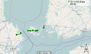
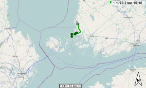
The ferry at 9am brought me to Finland proper. I was slow from then on, though, being very tired.
First I went eastwards, and then north. The countryside is flat, with very minor hills, some agriculture and some forests.

I am now in Uusikaupunki (funny name) on a camp site for which I paid 19 Euros. Wait, whaaat?

The weather is crap crap crap. I’d like to go back to the city center, but not in this rain.

Cycled: 73km

Trip: To the North | Country: , | Comments Off on Island of Långholm – Uusikaupunki

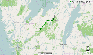
10km SE of Hallstavik – Island of Långholm

I got up later than planned (7am instead of 6) and found everything infested with slugs, which took some time to get rid of. I left at ten past 8 and rushed down to Grislehamn at the Baltic Sea coast, 34km from camp, to finish the Swedish leg of the trip. The ferry to the Åland Islands left at 10am and I touched base at the ticket booth at exactly 9.30. Not too shabby.

The Ålands are an autonomous (and demilitarized) region of Finland. (And apparently a tax-free shopping haven.) They allegedly consist of ~6000 islands, skerries, and rocks.

I hadn’t had any plans for how to cross the islands, just a bunch of ferry schedules, but seeing that the winds are still perfect for travelling in a northeasterly direction, and seeing the grim faces of the cyclists going in the opposite direction, I decided to cut the visit short and not go any further south (than absolutely necessary). No visit to Mariehamn, no postcards from the Ålands, sorry. I crossed the main island and hopped on another ferry at Hummelvik. I got off at Torsholma and cycled north, towards the last ferry that will bring me to mainland Finland tomorrow.

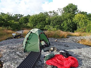
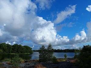
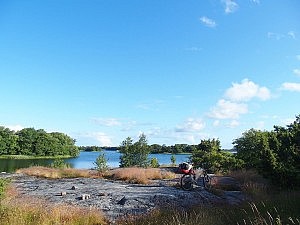
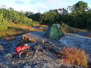
I pitched tent on a sheltered rock facing the water. When going for a swim I found out that the slopes were so slippery that I almost didn’t get back out of the water. Imagine the headline… :)

Cycled: 115km

Trip: To the North | Country: , | Comments Off on 10km SE of Hallstavik – Island of Långholm

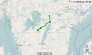
Västerås – 10km SW of Hallstavik

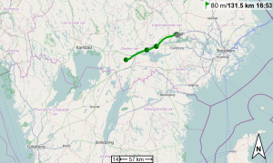
It started to rain at night, and it still rained at 11am when I decided to leave nonetheless. I cycled less than 10km and stopped at a pizza place for lunch (still in Västerås), and to weather off the worst of the rain.

The weather later improved and the riding was helped by the well-known and loved tail winds.
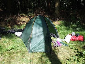
I waited out another rain shower in a bus stop outside Uppsala while having dinner there as well. My tent is now pitched in the middle of nowhere, on private land not far from a house and a big lake, but the owners are not here. I used their access to the lake for a quick bath.

The Swedes still have that affinity for old US-American cars and Hot Rods. There are some pretty cool vehicles driving around here. They also (probably a different fraction of ‘The Swedes’, though) like to build good cycle paths inside and outside their cities. I was pleasantly surprised by the approaches to Uppsala, Västerås, Göteborg, and many smaller towns in between. Also, the cross-country ‘Sverigeleden’, a cycle path network, is pretty cool, with some of the tracks being far away from any roads and of high quality.

Cycled: 141km

Trip: To the North | Country: | Comments Off on Västerås – 10km SW of Hallstavik

Fjugesta – Västerås

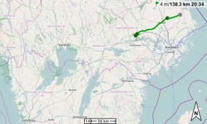
I woke up at 6am, and left at 7.30. The winds were still favourable and quarter past 10 I had cycled more than 50km already.

The terrain was flatter again and I could do 30, 35, or even 40kph over long stretches with little effort.

In Västerås I found out that I’d need Internet (and electricity) tonight, and the only camp sites on my route are either here (Västerås) or in Uppsala (70+ km further). I wasn’t really tired yet, but another 70 km would have been quite a stretch if I wanted to write proper emails afterwards. So I’m staying in a cabin, only to realize that my netbook’s trackpad doesn’t work (rendering it useless for what I need to do).

At least my paper maps can dry.

Cycled: 137km

Trip: To the North | Country: | Comments Off on Fjugesta – Västerås

Near Lycke-Lilla Höjen nature reserve – Fjugesta

It rained through the night and until 9.30am. I packed up slowly and started at 11.

Quite a good day with strong tail winds, I hope they’ll keep on blowing for the next two days while I’m still in Sweden.
The countryside became more hilly, so the average speed is ‘only’ a bit over 23kph.

You’ll have noticed there are (almost) no pictures in these recent posts. The thing is, I didn’t feel like taking (m)any. I’m not sure why.

I’m in Fjugesta, on a proper (but pretty much empty) camp site, with a proper shower.

Cycled: 148km

Trip: To the North | Country: | Comments Off on Near Lycke-Lilla Höjen nature reserve – Fjugesta

Vedum + 5km – near Lycke-Lilla Höjen nature reserve

I started the day quite slowly and eventually left at quarter past 3pm. Yepp…

So far the weather had been hot and starting so late had the advantage of skipping the hottest hours of the day.
Later it started to drizzle and then poured down properly, and I sought shelter in a bus stop for a few minutes.

Then I kept riding on lovely quiet backroads (as I do pretty much all the time). Unfortunately, there were farms after farms next to the road and everything was either fenced in or nature reserve (no camping allowed) and it was difficult to find a place for the tent. Though eventually I found a spot on a field behind some bushes, just next to the road.

Cycled: 66km

Trip: To the North | Country: | Comments Off on Vedum + 5km – near Lycke-Lilla Höjen nature reserve

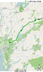
Near Angered – Vedum + 5km

From 6am the first golfers drove their balls across the course in front of my tent. Luckily it was snuggly hidden behind some bushes and I slept on till 20 past 7.

The first half of the day was marvellous riding through beautiful Swedish countryside, including a short swim in a very cold lake at the road side.

At 2pm I pulled into Vedum, slightly exausted by sun and high temperatures (peaked at 33 degrees). I had a long break in the shade of the local supermarket before I continued for another 5km to a little forest, where I pitched tent.

Cycled: 92km

Trip: To the North | Country: | Comments Off on Near Angered – Vedum + 5km

Bremen – near Angered

I’m on my way to the far north of Finland, to visit friends.

The first leg, to Göteborg/Gothenburg is by train and ferry, from there I’ll travel the remainder by bike.

I missed the ferry in Frederikshavn, Denmark, due to a missing reservation for one of the trains, but eventually made it across the Kattegat to Sweden.

I left Göteborg at almost midnight and pitched tent well outside the city on the edge of a golf course, around 1am.

Cycled: ~25km

Trip: To the North | Country: | Comments Off on Bremen – near Angered

Up An Stac

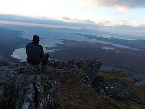
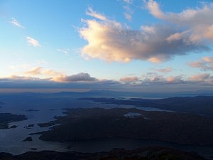
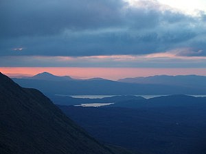
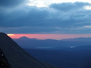
A short walk/climb up An Stac, an 814m hill not far from here.

It was chilly as I approached the hill from the north-east, in the shade. The sun was already past the zenith – I started the walk in the early afternoon. In some sections near the summit I had to use my hands to scramble a few metres, but mostly it was an easy’ish walk.

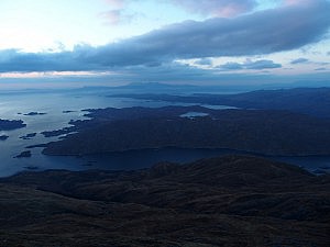
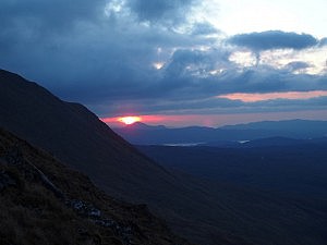
The view from the top was spectacular, though, as you can see below.

I descended on the ‘sunny’ side and was back down at the road long after nightfall.

Trip: Day Trips | Country: | Comments Off on Up An Stac

Across the Isle of Man

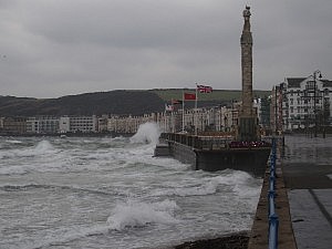
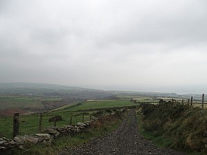
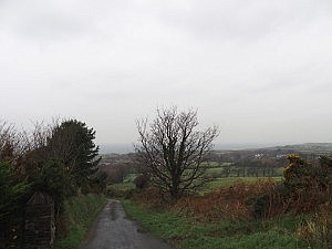
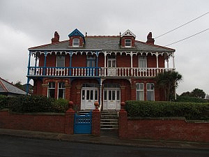
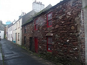
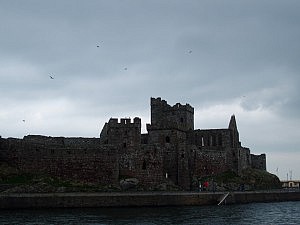
I happen to be on the Isle of Man for a few days. This morning I hopped on a random bus, which brought me to Peel on the western side of the island. I spent an hour there and had an early lunch, and then took another bus north to Ramsay. I got off about halfway though, in Kirk Michael. And somehow I decided to walk along Baltic Road and across a hill from there. Halfway through it started to rain and the wind got stronger, and somehow I decided I’d walk all the way through to the other side of the island.

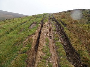
The path I had followed deteriorated to almost ;) Malagasy dimensions. It soon ended and my only choice was to cross private land to reach Druidale Road further down in the valley.

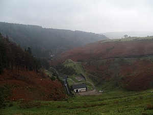
On Druidale Road I reached Druidale Farm, from where a footpath leads to the head of Sulby Reservoir. Here I joined Sulby Glen Road, which climbs along the hillside of Snaefell (621m), the highest mountain on the island. The weather got worse; rain, fog and a heavy-heavy head wind (I should have done this in the other direction) made the walk somewhat difficult. Visibility had decreased to less than 50m and sometimes I walked side-ways to evade the heaviest of gusts. With rain in my face and wind in my ears I didn’t hear my camera’s screams for help – it drowned unnoticed in my jacket’s pocket (water-proof apparently means: the water that’s inside won’t get out any more).

When darkness fell I reached Bungalow, a station on the Snaefell Mountain Railway at the junction of Sulby Glen and Mountain Road. The railway doesn’t run during the winter, so what could be more obvious than to use it’s tracks to reach Laxey, especially since there is no other direct road or path available?

The walk on the tracks was almost pleasant and about an hour later I emerged in Laxey on the eastern coast of the Isle of Man. Only when I sat down in the bus that brought me back to Douglas (the capital of the Isle of Man) I realized that my clothes were more or less completely soaked and I started to get cold. Nothing a hot shower and a warm dinner couldn’t fix, though.

Trip: Day Trips | Country: | Comments Off on Across the Isle of Man

Creag Leacach and Glas Maol

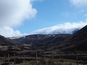
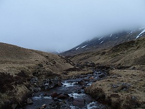
I had grand plans for today and wanted to attempt to climb up to six Munros in the Glenshee area. Starting with Creag Leacach (987m) and Glas Maol (1068m), I wanted to cross over to Cairn of Claise (1064m), potentially taking in Tom Buidhe (957m) and Tolmount (958m), before returning to A93 via Càrn an Tuirc (1019m).

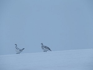
The weather wasn’t particularly great and I couldn’t see any of the hill-tops around me, they were all covered in a dense layer of grey clouds. So I also didn’t see that they were all properly snow-covered (though I guessed that from the snow patches on the hillsides – and the time of year). I had a good map, compass, and GPS with me, though.

I parked on the central car park of the Glenshee ski area and walked down the A93 to begin my walk with the ascent of Creag Leacach. In hindsight, following the descending road south added an unnecessary climb to the walk. If memory serves right, some of this could have been avoided by leaving the road quite early on and crossing over to Creag Leacach’s base via a parallel ridge. Anyway, whether that would have been faster is an entirely different question. And the ascent wasn’t so bad in the end.

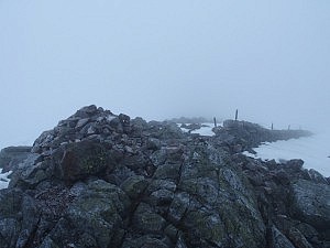
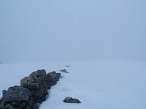
Visibility soon went downhill while I walked up. Interestingly, the boundary between the council of Angus and the council of Perth and Kinross follows the crest between the peaks of Creag Leacach and Glas Maol (and from there the boundary between Kinross and Perth and Aberdeenshire follows over to Cairn of Claise and Tolmount), and additionally, is marked by a somewhat derelict drywall. This wall was visible for the last part of the way up to Creag Leacach already, and was easily followed thereafter as well, as it’s crown often peeked through the snow.

Not far from Glas Maol my path was crossed by a kind of snow mobile which was unexpected and faded away in the fog as quickly as it had emerged, but reminded me that Glenshee is a ski resort.

Both Creag Leacach and Glas Maol were easily reached. From the latter, however, it became more difficult to march on. Owing to white clouds on white snow, visibility was seriously poor and at some point both compass and GPS started to display gibberish. I was indeed lucky that there was snow, which allowed me to retrace my steps.

Having lost quite some time trying to find my way, I decided to call it a day. Walking towards the other Munros would have led me further away from the road and given the weather conditions and the flaky navigational aids that didn’t seem like an exceptionally smart thing to do. I descended close to the ski slopes and wished I’d had a snowboard with me.

Trip: Day Trips | Country: | Comments Off on Creag Leacach and Glas Maol

The End

This is the end of the trip to Bangladesh. I’ll fly out tomorrow.

I didn’t get as far up the Brahmaputra as I’d have wished, but that is not entirely surprising, given the limited time and the vast area that Bangladesh and Northeastern India cover.

It was an intense time here. People are incredibly friendly and, even more so, incredibly curious. This makes travelling difficult at times. I would have liked to spend some more time with individuals, accept more invitations, get to know the culture a bit better, maybe learn some more Bengali, etc. But the short encounters with so many people during the day – where I was stopped and just asked for my name, or my country, or where people just wanted to snap a photo of me – eventually exhausted me enough to only want my peace and quiet at the end of the day. I was happy to lock the door behind me in a hotel and switch on the TV.
If I ever come back to Bangladesh (right now I’d say I’m definitely not in a hurry, to say it politely…) my patience with the amount of people is something I have to work on.

Over all, however, the trip was amazing.

And on top of it all, cycling and walking on the left side of the road has become natural to me. When I think of having to ride on the right side again soon – that’s what feels wrong. ;)
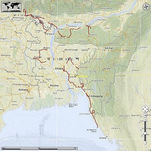
I cycled ~2400 kilometers in total. The map below shows most of the route I’ve cycled. It does not at all include buses, trains, boats, etc.

Trip: Up the Brahmaputra | Country: | Comments Off on The End

Gazipur – Dhaka

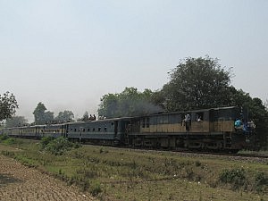
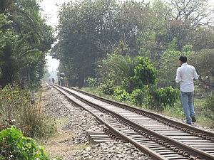
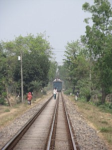
Today was the last day on the bike. Gazipur, a city of 1.2 million people, is located just 30km north of Dhaka. I avoided the main highway and cycled on a quiet back road parallel to the railway line connecting Gazipur with Dhaka.

At Tongi, a wee bit north of Dhaka’s airport, I had to join the highway, and cycling in the traffic chaos that is Dhaka was again a lot of fun.

I’m staying in a posh place in the Gulshan area, a bit south of the airport.

Cycled: 30km

Trip: Up the Brahmaputra | Country: | Comments Off on Gazipur – Dhaka

Kishoreganj – Gazipur

The trip is slowly coming to an end. Starting today, I am returning to Dhaka.

I managed to find an almost south-west bearing rout through the town of Pakundia and past Kapasia on pleasant roads. From the latter it was an interesting ride through a streched-out village-like area covered entirely with trees, between which people had built their houses. I followed foot paths at first, which then turned into a narrow asphalted road which eventually brought me to Gazipur.

Here it was, again, difficult to make myself understood. My asking for a hotel made people direct me to a restaurant. When I found a hotel of some sort, the clerk refused to let me sleep there. I think he was concerned it was not suitable for me. All my assurances that I didn’t care about the place’s comfort didn’t help. Finally I was directed to a place that, once more, was quite expensive, but did offer some ‘modern’ comfort.
Cycled: 81km

Trip: Up the Brahmaputra | Country: | Comments Off on Kishoreganj – Gazipur

Brahmanbaria – Kishoreganj

A quick ride in north-westish direction, to the town of Kishoreganj, somewhat northish of Dhaka. I have a couple of days before my flight home and I don’t want to spend all of them in Dhaka. So I’m slowly homing in on the capital.

It is now considerably warmer than when I first arrived in Bangladesh. It feels like the actual cycling is a bit of a chore, even though the country continues to be flat as flat can be. Maybe I’m getting old? Well, I’m not saying I don’t enjoy the cycling, not at all.
And as for the town of Kishoreganj – hm, I didn’t see much of it. I arrived late, had dinner, and fell into bed, basically.

Cycled: 78km

Trip: Up the Brahmaputra | Country: | Comments Off on Brahmanbaria – Kishoreganj